The Map
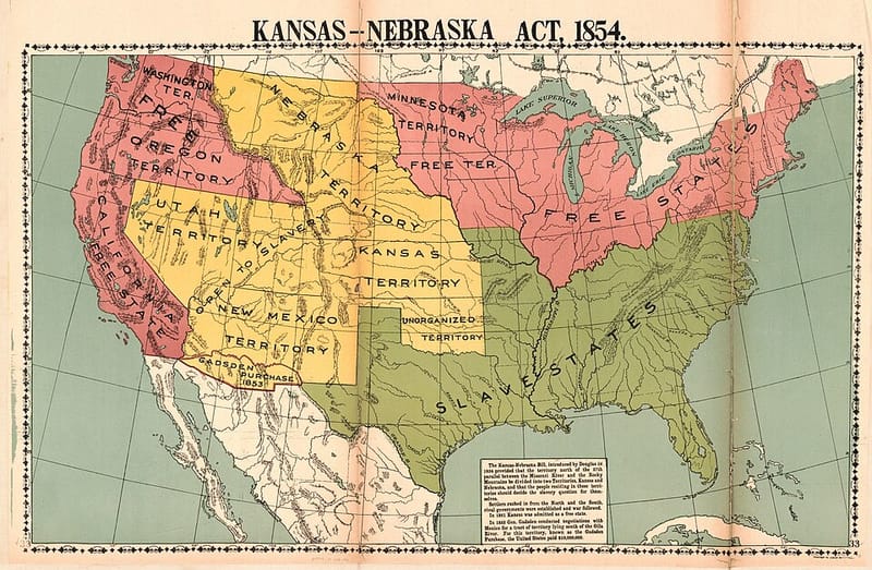
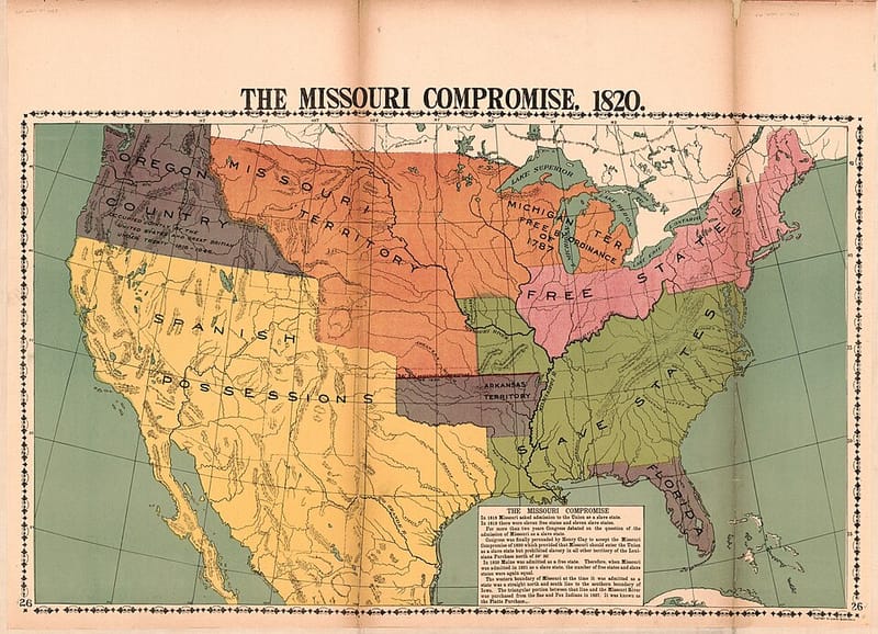
Places in the atlas, shown on today’s state borders. Tap a marker to open its entry. Historical maps — of territories, purchases, and homelands — appear on the entries themselves, so you can compare past and present.
Base map: U.S. Census Bureau boundaries via the us-atlas project, Albers USA projection (Alaska and Hawaii shown as insets). State capitals and their locations: Wikidata, checked 2026-10-15.
All 50 states and their capitals
- AlabamaMontgomery
- AlaskaJuneau
- ArizonaPhoenix
- ArkansasLittle Rock
- CaliforniaSacramento
- ColoradoDenver
- ConnecticutHartford
- DelawareDover
- FloridaTallahassee
- GeorgiaAtlanta
- HawaiiHonolulu
- IdahoBoise
- IllinoisSpringfield
- IndianaIndianapolis
- IowaDes Moines
- KansasTopeka
- KentuckyFrankfort
- LouisianaBaton Rouge
- MaineAugusta
- MarylandAnnapolis
- MassachusettsBoston
- MichiganLansing
- MinnesotaSaint Paul
- MississippiJackson
- MissouriJefferson City
- MontanaHelena
- NebraskaLincoln
- NevadaCarson City
- New HampshireConcord
- New JerseyTrenton
- New MexicoSanta Fe
- New YorkAlbany
- North CarolinaRaleigh
- North DakotaBismarck
- OhioColumbus
- OklahomaOklahoma City
- OregonSalem
- PennsylvaniaHarrisburg
- Rhode IslandProvidence
- South CarolinaColumbia
- South DakotaPierre
- TennesseeNashville
- TexasAustin
- UtahSalt Lake City
- VermontMontpelier
- VirginiaRichmond
- WashingtonOlympia
- West VirginiaCharleston
- WisconsinMadison
- WyomingCheyenne
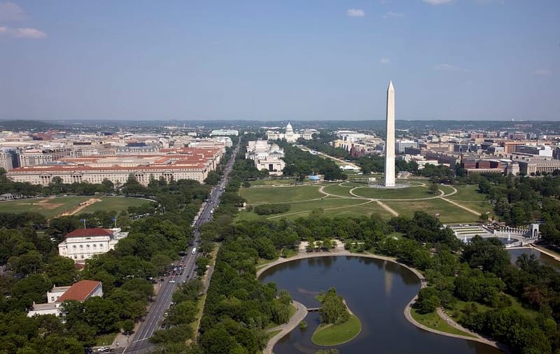
Washington, D.C., the national capital, is a federal district, not a state.
Midwest
1
8
Northeast
2
3
4
South
6
Southeast
Southwest
Washington, D.C.
West
9
10